Gis Mapping
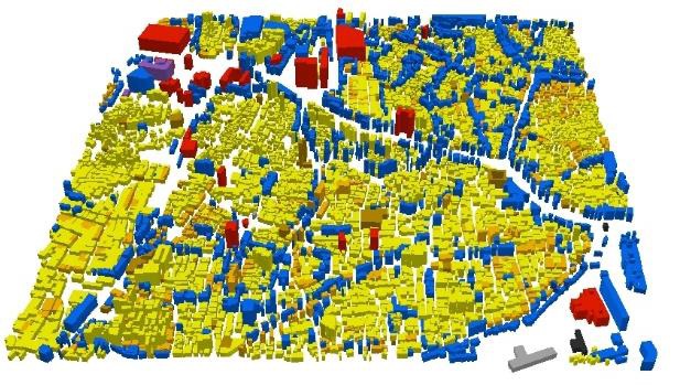
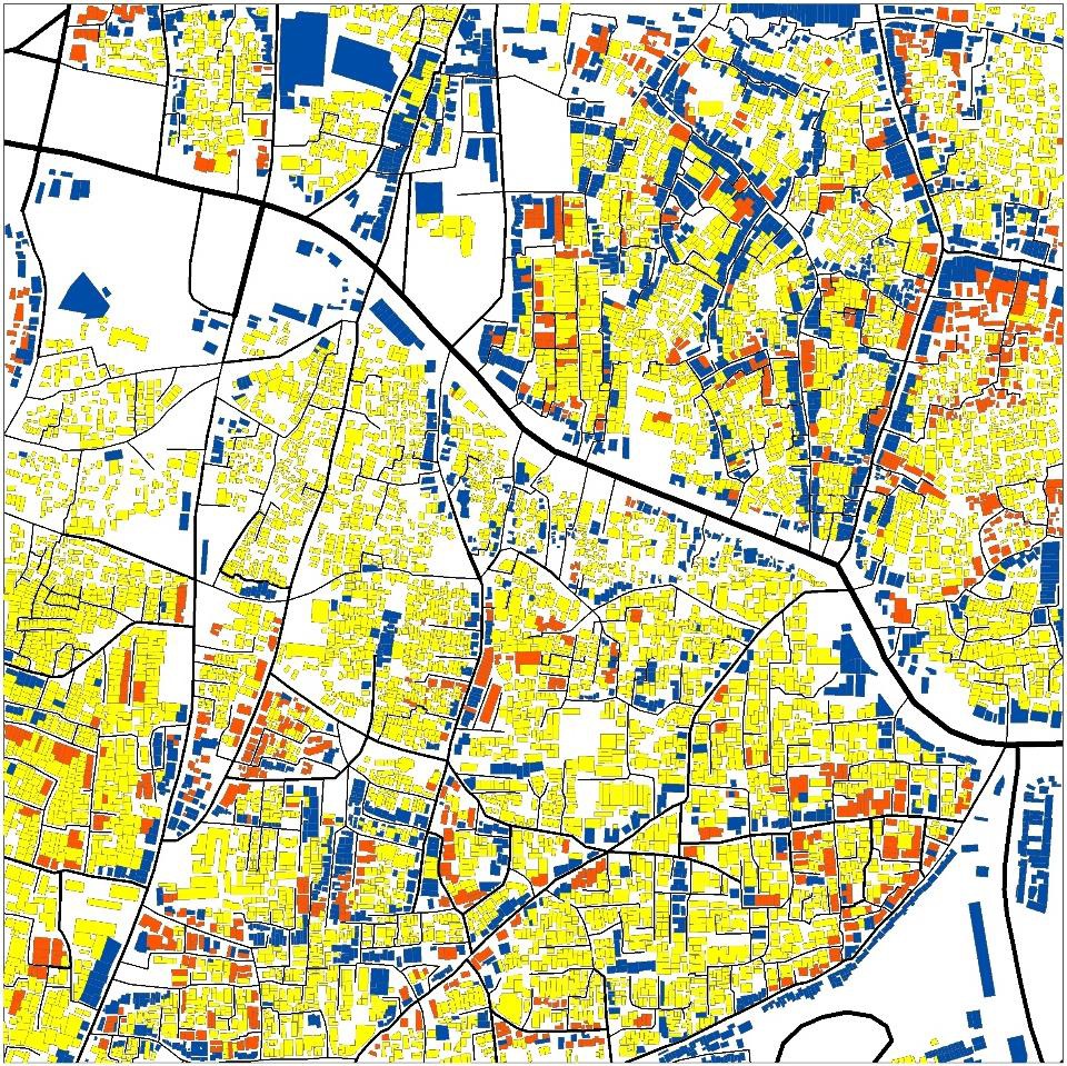
GIS mapping, or Geographic Information System mapping, is a powerful tool used to analyze, visualize, and interpret spatial data related to geographic locations. By integrating various data layers, such as satellite imagery, terrain models, and demographic information, GIS mapping allows users to create interactive maps and conduct spatial analysis to gain insights into complex geographical phenomena. From urban planning and environmental management to disaster response and public health, GIS mapping finds applications in diverse fields. It enables decision-makers to identify patterns, trends, and relationships within spatial data, aiding in informed decision-making, resource allocation, and policy formulation. With its ability to represent real-world features in a digital environment, GIS mapping plays a crucial role in addressing spatial challenges and advancing understanding of our dynamic world. GIS mapping involve providing specialized services and expertise in geographic information systems to clients across various sectors. We provide various services under GIS mapping and data analysis:


- 01. Spatial Data Analysis and Visualization ―
- Conducting spatial data analysis to identify patterns, trends, and relationships within geographic datasets, and creating visualizations such as maps, charts, and graphs to communicate findings effectively.
- 02. GIS Database Design and Management ―
- Designing and implementing GIS databases to organize, store, and manage spatial data efficiently.
- Ensuring data integrity, accuracy, and accessibility for users.
- 03. Custom GIS Application Development ―
- Developing customized GIS applications, tools, and workflows tailored to specific client needs (e.g., asset management, land use planning, emergency response).
- 04. Geospatial Modeling and Simulation ―
- Creating and applying geospatial models and simulations to analyze complex spatial processes (e.g., urban growth, transportation networks, natural hazards).
- 05. Remote Sensing and Image Analysis ―
- Utilizing satellite imagery, aerial photography, and other remote sensing data to extract information about land cover, vegetation, land use, and environmental changes.
- 06. Environmental Impact Assessments (EIAs) ―
- Conducting GIS-based assessments to evaluate potential environmental impacts of proposed projects, developments, or policies.
- Identifying mitigation measures to minimize adverse effects.
- 07. Infrastructure Planning and Management ―
- Supporting infrastructure planning by providing GIS-based solutions for asset inventory, condition assessment, maintenance planning, and capital improvement prioritization.
- 08. Natural Resource Management ―
- Assisting natural resource managers and conservation organizations with GIS-based solutions for land use planning, habitat mapping, biodiversity assessment, and ecosystem monitoring.
- 09. Urban and Regional Planning ―
- Supporting urban and regional planning initiatives by providing GIS-based analyses for land use zoning, transportation planning, demographic forecasting, and infrastructure development.
- 10. Disaster Management and Emergency Response ―
- Providing GIS-based solutions for disaster preparedness, response, and recovery efforts, including risk assessment, evacuation planning, damage assessment, and resource allocation.
- 11. Market Analysis and Site Selection ―
- Conducting GIS-based market analyses and site selection studies for retail, real estate, and economic development projects, using spatial data to identify optimal locations and assess market demand.
- 12. Training and Capacity Building: ―
- Providing GIS training, workshops, and capacity-building programs to equip clients with the skills and knowledge needed to effectively utilize GIS technology in their organizations.
